Using drones and data to monitor fertiliser uptake
Using drones and data to monitor fertiliser uptake
For the first time in Australia, drone images have been used to delineate fertiliser rate differences in banana plantations.
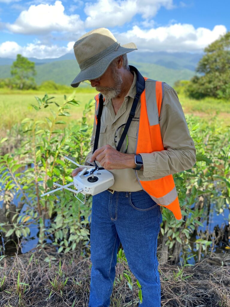
Marcus Bulstrode, from the Advanced Coastal Farming Systems team (QLD DPI).
Marcus Bulstrode, from the Advanced Coastal Farming Systems (ACFS) team, within the Natural Capital and Sustainability group of the Department of Primary Industries (DPI), has flown multiple flights over the Banana Nutrient Rate Trials project site at the South Johnstone Research Facility since it was planted in October 2023.
The project is delivered by DPI and funded through the Queensland Government’s Queensland Reef Water Quality Program.
Marcus explains the challenges and opportunities of working with bananas. “Bananas present unique challenges for remote assessment compared to other crops, due to their complex canopy structure, rapid growth cycles, and crop management activities. However, the layout and design of the Banana Nutrient Rate Trials site, combined with improvements in analytical vegetation algorithms, has meant that I could focus on specific areas to identify visual differences across the crop that correlated with different fertiliser rates,” Marcus said.
In November 2024, the trial entered its second year. Nitrogen rates were changed in a factorial manner, either increasing, decreasing, or staying the same as in the first year.
“By the end of December, we could identify changes in leaf colour that related to the new rates of nitrogen. The ability to visually track these changes in real-time is fantastic.”
Alex Lindsay, DPI’s Banana Nutrient Rate Trial Project Leader, said the patterns seen in the drone mapping matched ground-level spot checks of leaf colour using a chlorophyll meter.
“It provides confidence that the fertiliser is being utilised by the crop as planned across the trial site,” Alex said. Marcus has recently added a LiDAR sensor to further enhance data collection and analysis, to complement the multispectral and high resolution RGB (red, green, blue, or “visible” spectrum) imagery. This addition expands the potential to identify areas that could benefit from precision farming methods.
“Having a well-managed nutrient rates trial nearby is a real asset for doing this work and has facilitated collaboration between projects under the Reef program. We expect the results from this work will be transferred to others working in the banana industry.”
This activity highlights how scientists from different projects can work collaboratively with the aim of improving productivity and minimising environmental impacts.
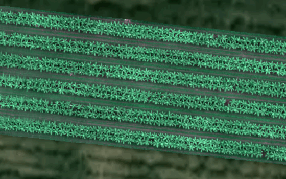
RGB (visual) image.
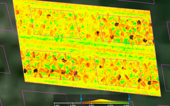
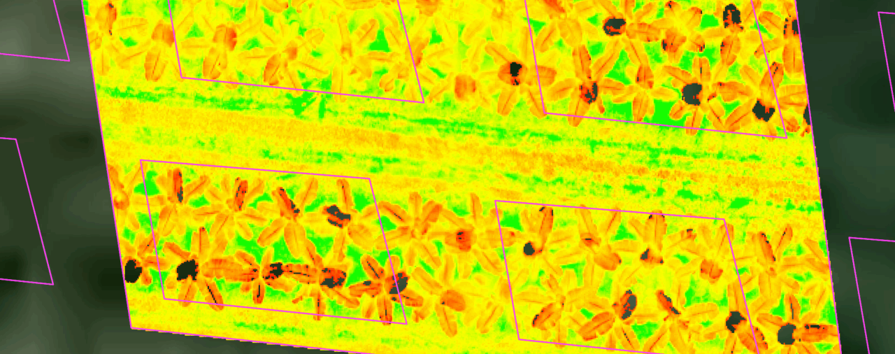
Multispectral image.
Different colours show different nitrogen fertiliser rates.